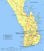
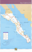
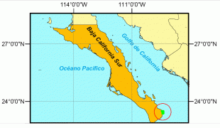
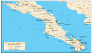
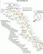
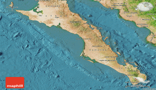
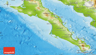
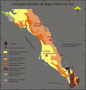
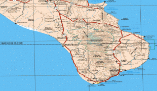
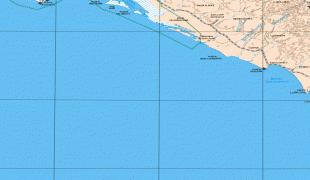
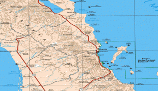
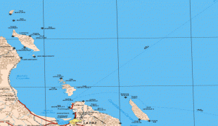
Baja California Sur (Estado de Baja California Sur)
 |
 |
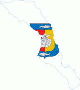
Before becoming a state on 8 October 1974, the area was known as the El Territorio Sur de Baja California ("South Territory of Lower California"). It has an area of 73909 km2, or 3.57% of the land mass of Mexico, and occupies the southern half of the Baja California Peninsula, south of the 28th parallel, plus the uninhabited Rocas Alijos in the Pacific Ocean. It is bordered to the north by the state of Baja California, to the west by the Pacific Ocean, and to the east by the Gulf of California. The state has maritime borders with Sonora and Sinaloa to the east, across the Gulf of California.
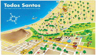
The state is home to the tourist resorts of Cabo San Lucas and San José del Cabo. Its largest city and capital is La Paz.
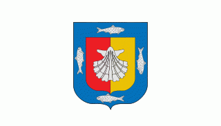
The state is named after the peninsula on which it is found, Baja (Lower) California, with the term "Sur" meaning "south". The name California applied to this peninsula along with the area now known as the state of California in the United States. The coat of arms emphasizes the state's connection to the sea, including images of silverfish, a silver shell and a blue background.
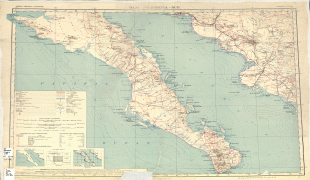
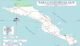
Map - Baja California Sur (Estado de Baja California Sur)
Map


Country - Mexico


Currency / Language
| ISO | Currency | Symbol | Significant figures |
|---|---|---|---|
| MXV | Mexican Unidad de Inversion | 2 | |
| MXN | Mexican peso | $ | 2 |
| ISO | Language |
|---|---|
| ES | Spanish language |


